South Cotswold Soaring Association: Cam Long Down
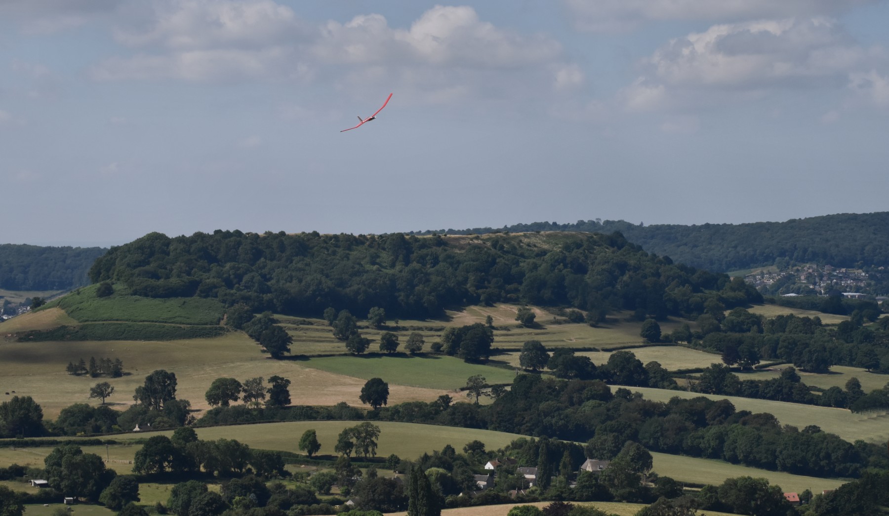 |
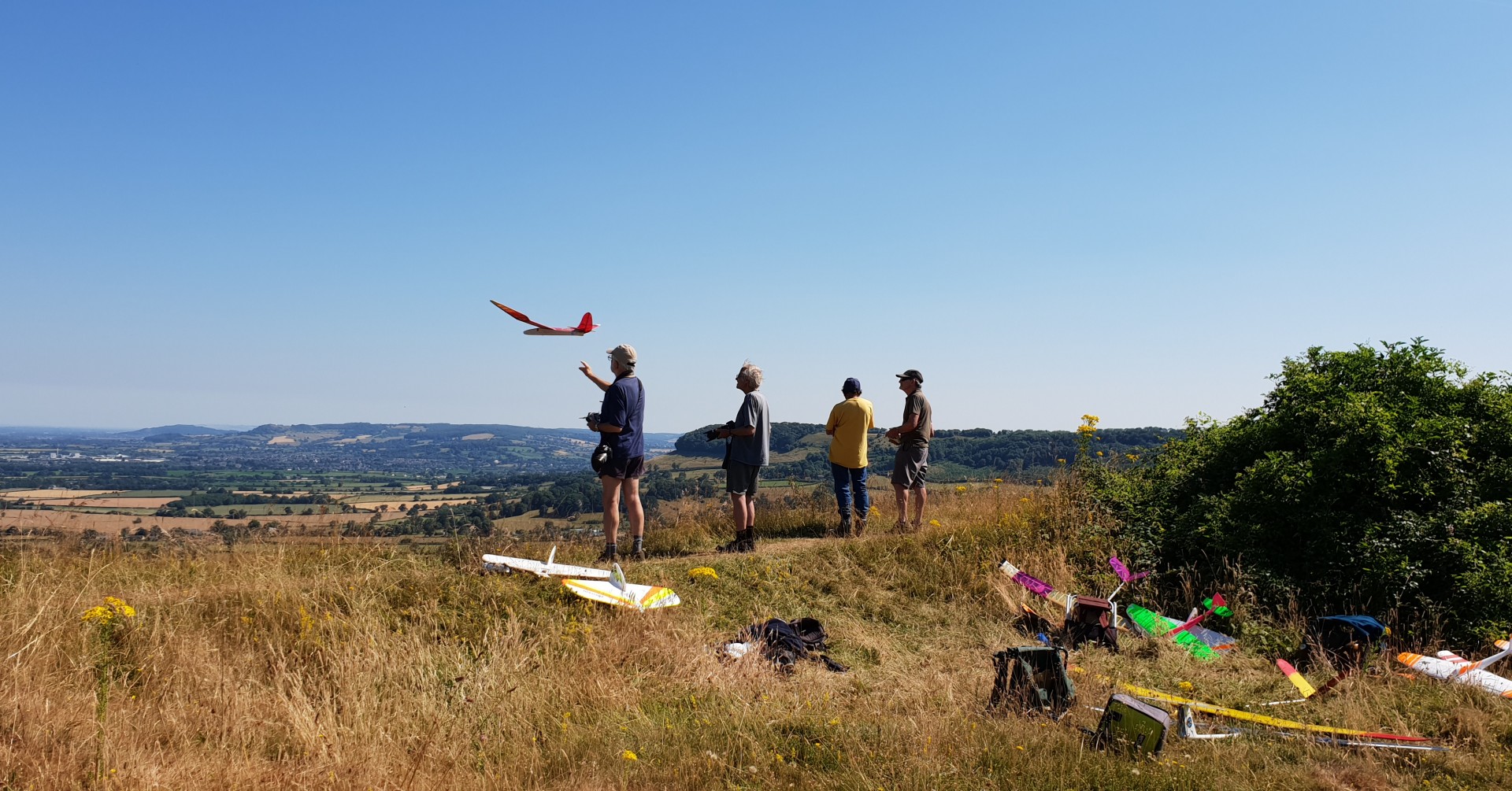
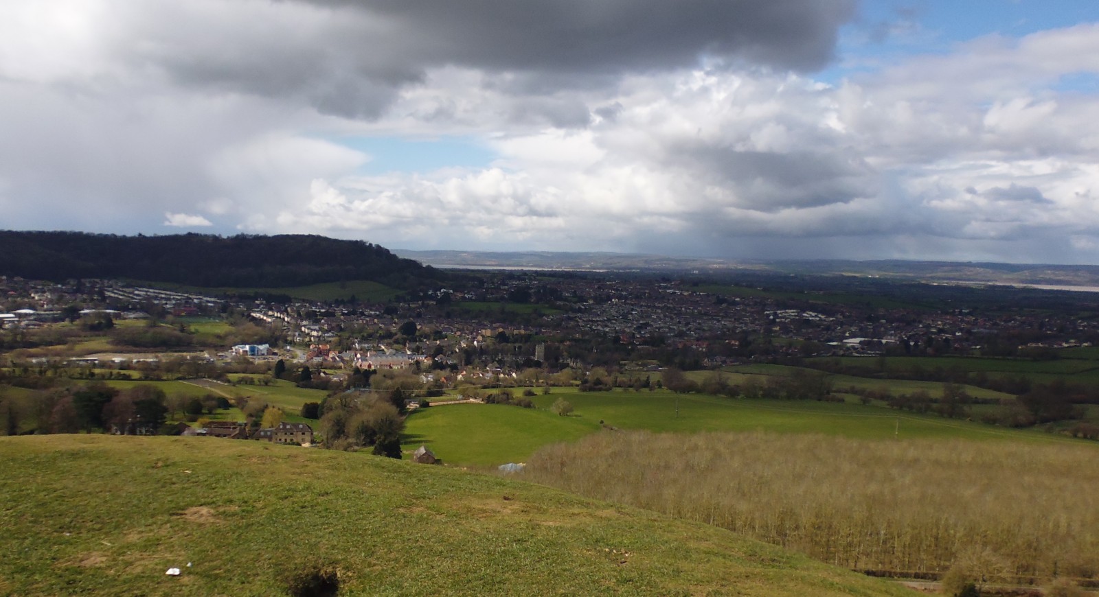
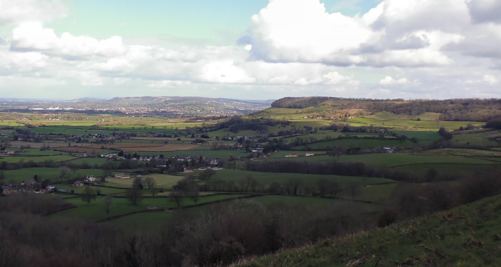
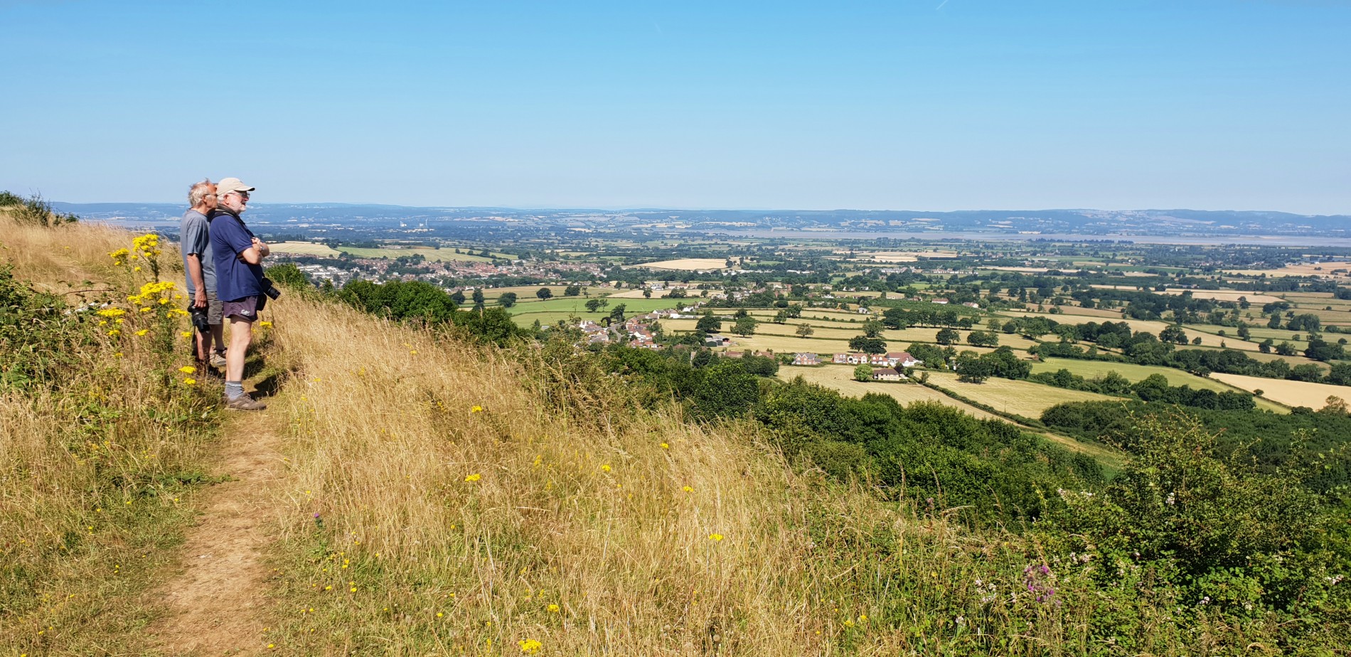
. A nice North facing ridge, only spoilt by poor landing choices, the area in front is clear and gives super smooth lift, it takes 13 minutes to walk up slowly climbing 300 feet
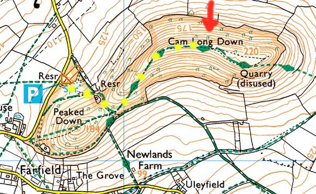
Map link
e51.692548, w2.339514 Park at 51.692632, -2.3386602
(WGS84) N51:41:33 (51.692548) Long (WGS84) W2:20:19 (-2.338514)
What Three Words; park ///bibs.briefing.weeps Fly ///rebounder.pursue.success
Drections:
we lost a dozen good men trying to find the place, you are on your own. Satnav GL11 5HH is very near the car parkParking:
where the 'P' is, then head up, the slope is to the left of the hill in front of you, keep climbing till you reach the long ridge, this is on the Cotswold wayLanding:
not the worst place in the world, but pretty close, try to skid along the front of the slope and hit something soft. The rotor is bad on the topDynamic Soaring:
best in a SSW wind, there are less trees on the north side videoLanding Out:
If you do land out look for Bill and Fred, lost several months ago in the deep undergrowthPara Gliders:
a nice place but the trees cause problems, not used latelyPhotos
 |
 |
 |
 |